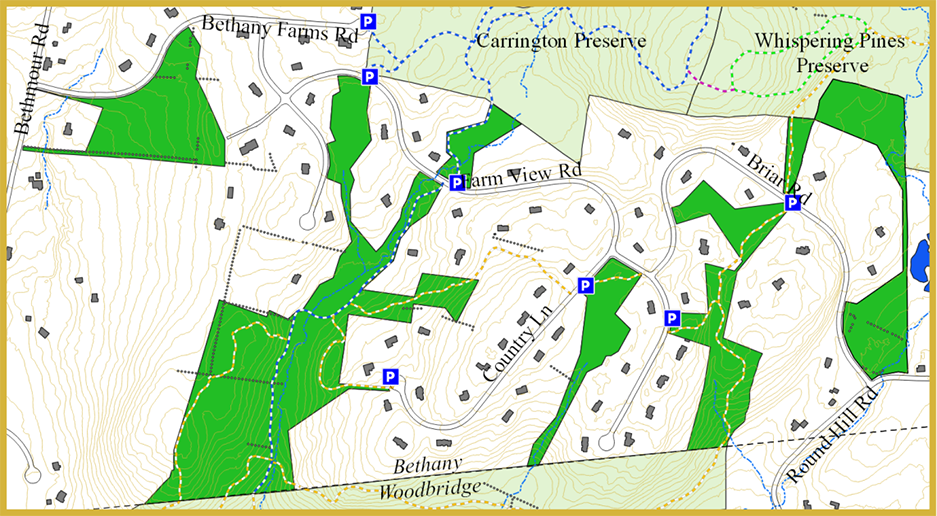
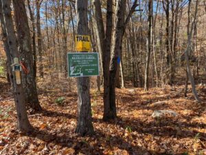
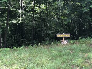
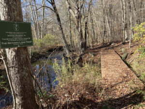
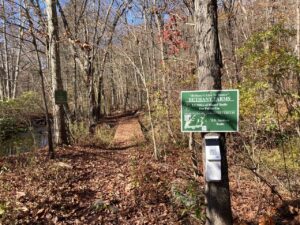
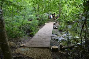
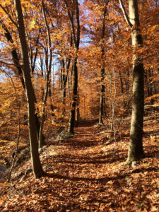
Located in the southwestern corner of Bethany, the Bethany Farms Trail System was created by the Bethany Land Trust to provide a peaceful retreat within one of Bethany’s largest housing developments. When the 250-acre Bethany Farms Development was approved in the mid-1990s, the Town of Bethany and the Land Trust worked diligently to provide hiking trails on the property. The developers generously donated 10 open space parcels encompassing 70 acres and trail easements to the Land Trust. An important outcomes related to the preservation of the Bethany Farms parcels were amendments to the town’s regulations that require open space set asides to be included in subdivision plans.

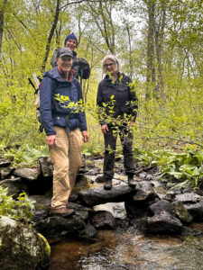
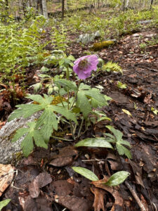
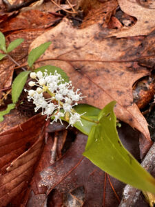
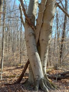
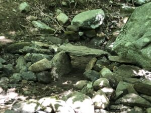
A variety of natural features can be found in the Bethany Farms system along with multiple habitat types including stream headwaters, wetlands, and upland forest. Upland hardwood forest species include oaks, hickories, birches, and maples.
Trails:
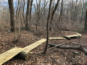
Offering a variety of hiking experiences, the Bethany Farms Trail System consists of several trails including some that connect with remnants of the old Naugatuck Trail in Woodbridge. The Naugatuck Trail was originally established by the Paugussett Tribe and is one of the oldest indigenous trails in Connecticut. It was later used by settlers, including the “Leatherman,” as the main route leading from New Haven to Naugatuck. Trails connect with open space parcels in Woodbridge as well as Whispering Pines, owned by the Land Trust, and the Carrington Preserve owned by the Town of Bethany.
- The main trail, the blue-blazed Naugatuck Trail (0.55 miles; moderate), begins across from 59 Farm View Road and follows a watercourse downhill to the Woodbridge town line, where it connects with a section of the Naugatuck Trail that runs beside Bladen’s Brook to Sanford Road. An extension of this trail (0.15 miles) heads north from 59 Farm View Road and connects with the Carrington Preserve.
- The Narrows Trail (0.35 miles, moderate) cuts through an easement on Country Lane and proceeds downhill to the Naugatuck Trail.
- The West Loop Trail (0.6 miles, difficult) leaves the Naugatuck Trail climbing up to the western portions of the system and loops back to the Naugatuck Trail
- A short trail (0.1 miles, easy) across from the Narrows Trail entrance connects Country Lane with Chelsea Circle
- The Big Tree Trail (0.75 miles, difficult) starts on Chelsea Circle and goes down a steep grade before turning south and crossing over into Woodbridge, where it eventually joins the Naugatuck Trail.
- A spur trail (0.3 miles, easy) off the Big Tree Trail crosses Briar Road and connects with Whispering Pines
- The steep Ridge Trail (0.33 miles, difficult), which is mostly in Woodbridge, connects the Big Tree Trail to the Bethany portion of the Naugatuck Trail.
- A short trail (0.2 miles, easy) connects the Naugatuck Trail with the cul-de-sac on Country Lane.
Because a portions of some of the trails pass through easements, we ask hikers to stay on the trails and respect private property.
Address: 59 Farm View Road, Bethany CT (other entrances exist on Country Lane and Chelsea Circle)
Size: 70 acres
Parking: Roadside parking is available at the many trail entrances within the system as well as along Sanford Road in Woodbridge.
