Bethany Farms Trails
Located in the southwestern corner of Bethany, the Bethany Farms Trail System was created by the Bethany Land Trust to provide a peaceful retreat within one of Bethany’s largest housing developments. When the 250-acre Bethany Farms Development was approved in the mid-1990s, the Town of Bethany and the Land Trust worked diligently to provide hiking trails on the property. The developers generously donated 10 open space parcels encompassing 70 acres and trail easements to the Land Trust. An important outcomes related to the preservation of the Bethany Farms parcels were amendments to the town’s regulations that require open space set asides to be included in subdivision plans.
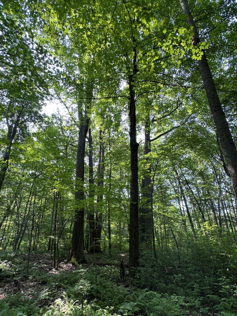
A variety of natural features can be found in the Bethany Farms system along with multiple habitat types including stream headwaters, wetlands, and upland forest. Upland hardwood forest species include oaks, hickories, birches, and maples.
Trails:
Offering a variety of hiking experiences, the Bethany Farms Trail System consists of several trails including some that connect with remnants of the old Naugatuck Trail in Woodbridge. The Naugatuck Trail was originally established by the Paugussett Tribe and is one of the oldest indigenous trails in Connecticut. It was later used by settlers, including the “Leatherman,” as the main route leading from New Haven to Naugatuck. Trails connect with open space parcels in Woodbridge as well as Whispering Pines, owned by the Land Trust, and the Carrington Preserve owned by the Town of Bethany.
- The main trail, the blue-blazed Naugatuck Trail (0.55 miles; moderate), begins across from 59 Farm View Road and follows a watercourse downhill to the Woodbridge town line, where it connects with a section of the Naugatuck Trail that runs beside Bladen’s Brook to Sanford Road. An extension of this trail (0.15 miles) heads north from 59 Farm View Road and connects with the Carrington Preserve.
- The Narrows Trail (0.35 miles, moderate) cuts through an easement on Country Lane and proceeds downhill to the Naugatuck Trail.
- The West Loop Trail (0.6 miles, difficult) leaves the Naugatuck Trail climbing up to the western portions of the system and loops back to the Naugatuck Trail
- A short trail (0.1 miles, easy) across from the Narrows Trail entrance connects Country Lane with Chelsea Circle
- The Big Tree Trail (0.75 miles, difficult) starts on Chelsea Circle and goes down a steep grade before turning south and crossing over into Woodbridge, where it eventually joins the Naugatuck Trail.
- A spur trail (0.3 miles, easy) off the Big Tree Trail crosses Briar Road and connects with Whispering Pines
- The steep Ridge Trail (0.33 miles, difficult), which is mostly in Woodbridge, connects the Big Tree Trail to the Bethany portion of the Naugatuck Trail.
- A short trail (0.2 miles, easy) connects the Naugatuck Trail with the cul-de-sac on Country Lane.
Because a portions of some of the trails pass through easements, we ask hikers to stay on the trails and respect private property.
Whispering Pines
The Land Trust received a donation of 47.4 acres of woodlands, streams and historic features that has become Whispering Pines from the late Irene Stahl that had been lovingly tended to by Irene and her late husband, Carlton. Carlton Stahl began acquiring the land in 1944 from Henry and Julia Russell and added parcels over the years. He gave Henry permission to continue grazing his dairy cows in the meadow and for Julia to pick apples from the orchard for her famous apple pies. After his discharge from the military in 1946, Carl planted 500 seedlings, constructed a bridge (replaced with one built by the Land Trust trail crew) and made gentle paths through the forest to easily reach the top of the cliff and pine tree areas. When Carl married Irene in 1959, he was called the tree man and she the flower woman.
Some of the natural features in Whispering Pines include wetlands and forested ridges while the upper portion of Bladen’s River drains most of the property. Whispering Pines provides habitat for a number of species and is part of a larger wildlife corridor in that part of Bethany. As this is in an area of rich history, both colonial and indigenous, it means that any historic features are now protected from development.
Trails:
Trails in Whispering Pines course through many of the natural features in the Preserve and connect with adjacent open space parcels that include the Land Trust’s Hidden Brook Preserve and Bethany Farms as well as the town of Bethany’s Carrington Preserve.
- The Whispering Pines Trail (0.83 miles; moderate) runs from the Village Lane cul-de-sac down to a bridge crossing Bladen’s River and passes nearby wetlands below a 50-foot cliff to a parking area on Briar Road.
- The Cowpath Trail (0.3 miles, moderate) leaves the Whispering Pines Trail passing through what was once the grazing area down a ridge to reconnect with the Whispering Pines Trail
- The Falling Water Trail (0.07 miles, moderate) climbs along the Bladen’s River into the Carrington Preserve, where a small waterfall can be seen near the trail.
- The Cliff Loop Trail (0.5 miles; difficult) climbs up a dirt road to highest point in the Preserve and then returns above the cliff back to the Whispering Pines Trails. A short connector spur leads into the Carrington Preserve.
- The Wopowog Trail (0.04 miles; moderate) climbs into the Carrington Preserve.

Address: 30 Briar Road, Bethany CT
Size: 47.4 acres
Parking: Roadside parking is available at the end of the Village Lane cul-de-sac as well as on Briar Road.
Hidden Brook
The Hidden Brook Preserve is 36.1 acres of open space acquired by the Land Trust from the Giovanelly Family Trust and other family members located in the southwestern portion of Bethany. The parcel includes approximately 8 acres of a mix of woodland and rocky outcrops encircling approximately 28 acres of rich marshy wetland which protects songbirds, wild flowers, and other wildlife. The upper portion of Bladen’s River emerges from the wetlands. It contains habitat important to numerous avian and amphibian species. This property borders the Town of Bethany’s Carrington Preserve and is close to the Land Trust’s 47-acre Whispering Pines Preserve with trails that further connect to the several Land Trust parcels in Bethany Farms.
Trails:
The Sisyphus Trail (0.7 miles, moderate) was constructed by a local Scout as an Eagle Scout project and courses through the 8 acres woodlands and rocky outcrops that surrounds the wetland. It crosses several small streams including the Bladen’s River and climbs up to the location of a glacial erratic from whence the trail gets its name. The trail connects with the Falling Waters Trail in the Carrington Preserve.

Address: 89 Russell Road, Bethany CT
Size: 36.1 acres
Parking: Roadside parking is available where the unimproved portion of Atwater Road meets Russell Road adjacent to 103 Russell Road. A path on the unimproved portion of Atwater Road brings you to the trailhead after a short walk.
Carrington Preserve
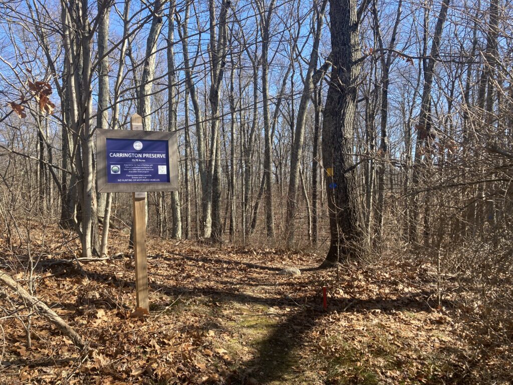
The 73.75-acre Carrington Preserve is owned by the Town of Bethany but managed by the Bethany Land Trust. Purchased by the town in 2015, it was part of the larger Cherry Tree Farm, a historic property dating back to the early 1800s, which combines pasture and woods. In 2016, the Carrington family decided together to permanently protect the remaining portion of Cherry Tree Farm adjacent and west of the Preserve. This was Bethany’s first project protecting farmland as part of the State of Connecticut’s Farmland Trust.
The Preserve is surrounded on the east, north and west by a combination of open fields, wetlands and woods. Some of the features in the Preserve include hardwood upland forests of oaks, hickories, birches and maples, a stream that empties into wetlands shared with Bethany Farms, and stone walls that cordoned the property when it was used as pasturage. Habitat features include large trees for nesting raptors; cavity trees for sheltering wildlife; rock outcrops which offer shelter for small mammals and possibly unusual plants; an abutting stand of eastern red cedars which provide shelter in winter and a valuable source of berries; oak and hickory trees which provide hard mast like nuts.
Trails:
Trails in the Carrington Preserve maintained by the Land Trust connect with those in Whispering Pines, Bethany Farms and Hidden Brook. Part of the historic Naugatuck Trail courses through the property.
- A trail (1.17 miles, moderate) leaves the Atwater Road parking area into the Preserve and climbs into the uplands, where a connecting trail (0.07 miles; easy) leads to Whispering Pines. The trail continues down a slope, crosses a streambed and eventually splits, with one ending on Farm View Road and the other at the Bethany Farms Road cul-de-sac. A portion of the historic Naugatuck Trail leads onto private property.
- Another connector (0.1 miles; moderate) leads into Bethany Farms.
- From the northern entrance, the Wopowog Trail (0.4 miles; moderate) connects Atwater Road to Whispering Pines through Carrington Preserve. Named from the indigenous word for interconnected, the trail runs along a stone wall that borders the Hidden Brook Preserve, passes an entrance to the Falling Waters Trail and then courses down into Whispering Pines.
- The white Falling Water Trail (0.2 miles; moderate) leads from Wopowog Trail to the Sisyphus Trail at Hidden Brook and continues through Carrington Preserve to Whispering Pines. Water cascades from Hidden Brook to form Bladens Brook near the junction of the Falling Water Trail and the Sisyphus Trail.

Address: 120 Atwater Road, Bethany CT
Size: 73.75 acres
Parking: Roadside parking is available in the town’s parking lot at the end of the paved section Atwater Road. Please don’t block access to the Cherry Tree Farm’s fields. Roadside parking is also available on the Bethany Farms Road cul-de-sac and along Farm View Road. Access to the northern entrance is available where the unimproved portion of Atwater Road meets Russell Road adjacent to 103 Russell Road. You need to walk on the unimproved portion of Atwater Road to the trail entrance.

